Cape Wrath Trail Unsupported Fastest Known Time Story now available on Spotify thanks to Go Mountain Goats by Finlay Wild, episode 27.
A run through the history of clearances on the West Coast of Scotland, FKTs, breaking records, trying not to break myself in the process and more interesting facts in this podcast.
Follow the link below, search for Go Mountain Goats on Spotify or just keep reading.
https://spotify.link/ySIkdIccbzb
Today’s date is Friday, April 21st, 2023. It has been two weeks since I completed the Cape Wrath Trail, and the road to recovery, both physically and mentally, has been longer than I anticipated. While the physical damage to my body is temporary, such as losing toenails, it is a side effect of long-distance running. My legs didn’t even have a chance to develop lactic acid in the muscles, as I was constantly using them over the course of three days and 14 hours to flush out all the toxins. Therefore, I didn’t even feel them, even after I finished. Unfortunately, I had to fight an infection in my right ankle due to many scratches, bruises, and blisters. My leg around ankle height got badly infected with cellulitis, which resulted in me being in the hospital for four days after the CWT on an antibiotic drip. Recovering was harder for me because I am allergic to penicillin, which is the real deal when it comes to fighting cellulitis skin infections. The poisoning went in so deep because I was constantly moving, which spread it deeply into my muscle tissues and ligaments surrounding my ankle joint.
Today is Friday, and for the first time since the CWT, I haven’t woken up and grabbed a handful of painkillers. While it’s still sore, I am walking without crutches, and it feels like it’s healing as it should be. The bruises, scratches, and blisters on my feet are already gone, and the skin is healing nicely. My feet are surrounded by a constant feeling of itchiness, which indicates healing.
Mentally, I am finally feeling better because I started writing while sitting on a bench at Mallaig harbor with a cup of coffee with oat milk sitting next to me. While one might think I could write all of this while lying in the hospital bed, I couldn’t. The mental damage, tiredness, sleep deprivation, and loneliness of the unsupported CWT attempt took its toll on me. Every time I tried to write my thoughts, I was falling asleep, my head was wandering away, or a nurse was coming in to take my blood samples or check my pressure. One thing I experienced when I talked to family and friends about some of the sections I did on the CWT is getting the feeling of being sick. Every time I tried to tell the story of a really hard part of the run, I started to feel very ill, which must be post ultra trauma. I was in constant pain from 36 hours until the end, and my feet were not in a good place. One thing I knew was that I am not coming back to do this another time; it’s now or never. The pain of my broken feet was going through my shoulder with every step, and I think it scarred me internally. However, I am a believer in the saying “what doesn’t kill us makes us stronger,” and I feel like I’m on top of the world right now sitting here in the sun writing this as it is the first step to telling you my story of the Cape Wrath Trail Unsupported Fastest Know Time. You might have seen it in the newspapers, articles on the Internet, or heard it on Finlay Wild’s Go Mountain Goats ep 27 podcast. Here, you will find out even more. Keep reading.
Why did I decide to undertake the Cape Wrath Trail?
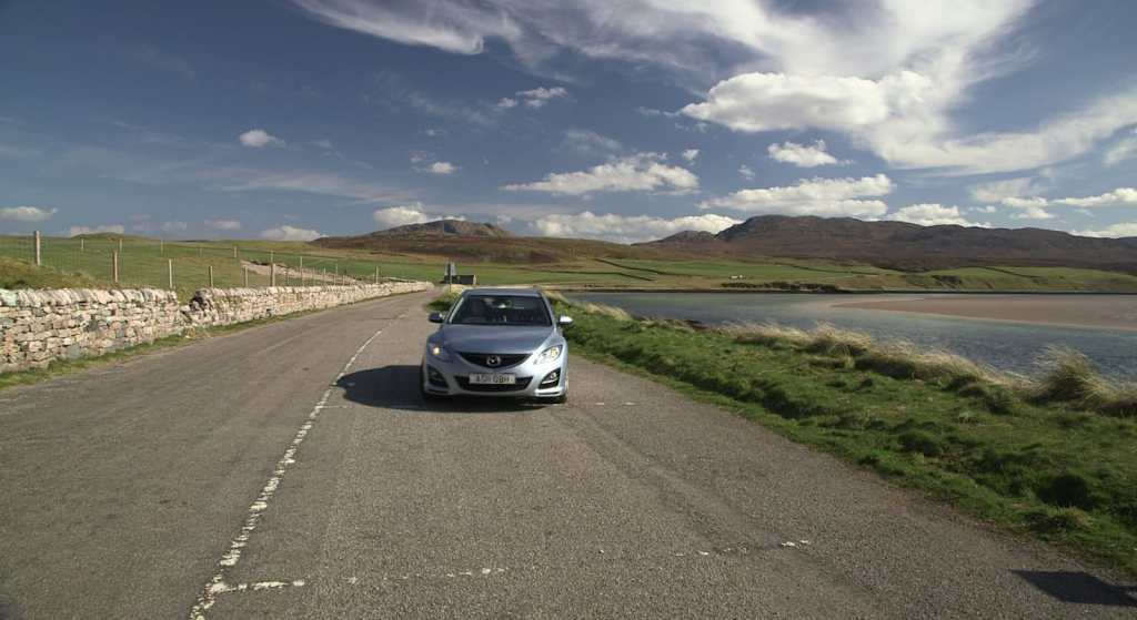
Living only 17km away from parts of the trail, I had always been interested in it, and I would follow the Cape Wrath Ultra race every year, but I couldn’t afford to participate in a multi-day organized race. I wanted to experience the trail in my own way, but I was intimidated by the distance and the challenge it posed.
Fortunately, I work with Brad Cain, who had completed the trail and knew it inside out. He spoke highly of the route and the people at Cape Wrath Lighthouse. Despite it being on my mind on and off, it wasn’t until 2022, when Brad and I started talking about it again, that the idea became more concrete. I was in great physical shape, having had a successful year of running, and Brad was confident that I was up to the challenge. So, at the start of this year, I finally committed to it.
Why unsupported?
To begin with, the decision to do the Cape Wrath Trail unsupported was primarily due to logistical ease. One does not have to worry about coordinating with a support crew, which eliminates a significant amount of stress. However, the downside is that the challenger has to be self-reliant throughout the entire journey, with no assistance from anyone.
Moreover, I was also intrigued by the fact that there was no recorded time for an unsupported finisher on the fastest known times website for the route. I was determined to be the first to accomplish it.
Although I quietly contemplated attempting to break the overall CWT record, which was a supported record, my primary goal was to complete an unsupported expedition. Nonetheless, achieving the overall record is also within my reach, albeit very challenging.
Preparation.
To access my preparation archive for the Cape Wrath Trail, please visit the Cape Wrath Trail Preparation page where you will find all the information you need.
Training for the Cape Wrath Trail.
Preparing for the Cape Wrath Trail is a challenging task that requires both physical and mental readiness. You can have the best gear, but if your body and mind are not prepared, you may struggle or fail. However, with hard work and dedication, you can succeed.
To start, you must get used to discomfort, especially being cold, wet, and in pain. The trail is 70% pathless, and when it rains, it becomes even more challenging. Thus, you need to get used to moving on steep hillside, sliding, and getting colder and wetter with each minute.
Running and walking every day is a good starting point. Aim for at least 100k-160k per week with a minimum of 3000m of elevation for at least three months before the challenge.
Finding the least used paths, which are overgrown and very wet, is a great way to prepare. Get used to having wet feet, crossing knee-deep rivers safely, and doing enough strength training that targets your whole body.
Running in the dark and rain, practicing navigation, and using poles are also recommended. However, avoid practicing running sleep deprived. This will come on its own, and you will have to battle through it.
Running on tired legs is a good way to build a strong mind. The more you are in discomfort during training, the better your head will cope with it on the day.
If possible, try running on the actual Cape Wrath Trail paths, such as Glenfinnan to Kinloch Hourn. It’s a great indicator of what’s to come later. Expect mud, rivers, high grass, bogs, and everything you can imagine.
To prepare for the weight of your kit, train with it. You will feel slow, but that’s okay because you won’t be any faster during the Cape Wrath Trail. Make sure your shoulders, waist, and lower back are prepared, as they may get chafed and cause discomfort during the trail.
Finally, study the map, watch videos of the Cape Wrath Trail on YouTube, and familiarize yourself with the surroundings to prepare adequately.
This section will discuss the food consumed during the Cape Wrath Trail.
When selecting food, it’s important to be cautious and mindful of your nutritional needs. Initially, I gathered all the foods I enjoyed, but this led to too many options with varying levels of carbs, protein, and energy. I recommend trying diverse foods during training to determine what works best for you, and then sticking to that plan.
During a multi-day race, it’s expected that you’ll burn between 7,000-11,000 calories per day. However, it’s crucial not to attempt to replace all of these calories, as our bodies aren’t accustomed to processing such a large quantity of calories in 24 hours. Even active athletes will typically burn only 2,000-4,000 calories per day, so it’s not feasible to make such a significant leap to consuming 9,000 calories.
The first step is to calculate how many calories you require per day. To do this, you can use an online BMR calculator. For example, my BMR is 1525 kcal. For a multi-day effort lasting 24-96 hours, you should aim to consume 2-3 times your BMR to obtain an estimate of the calorie count required each day. This calculation gave me a range of 3050-4575 kcal per day, which provided a foundation for planning my nutrition.
Since I was attempting an unsupported journey, I needed to carry all my food from start to finish. I had to balance three considerations: having enough food to last until the end, not carrying too much extra weight, and ensuring that I wouldn’t run out of food.
In previous 24-hour mountain challenges, I had a mix of gels, real food, and sweets. However, when chasing FKTs in 2022, I relied almost exclusively on high-energy gels, gels with electrolytes, and gels with caffeine. I found that Mountain Fuel Sports Nutrition gels were the best on the market and tested them several times before the race. Gels are ideal for providing a quick energy boost, but I needed something that would provide lasting energy. After researching, I discovered that nuts and nut butters are high in calories, protein, healthy fats, carbs, fibre, and salt. I settled on Resilient Nutrition’s high-energy nut butters, which I found to be ideal. I also tried Real Meal bars, which are packed with everything your body needs.
In addition to nutritional value, morale-boosting foods were important. I carried a lightweight cooking stove and three Real Turmat expedition meals for hot food in the hills. I find that hot food sitting in my stomach can be exactly what I need when I’m struggling.
During one long day on the Cape Wrath Trail, I also tried eating liquorice sweets and tahini, jam sandwiches. This combination worked well for me, and I was able to run for 10 hours on two sandwiches and half a bag of liquorice. I made tahini and jam wraps and packed liquorice all sorts from Home Bargains.
When it comes to drinking, I don’t see any problems with drinking hill water in the Highlands. The water is pure, but there are a few precautions to take. Ensure that the water is flowing and has no colour or odour. Avoid any floating bits that might end up in your bottle. In 10 years of hill running, I have never gotten sick from drinking hill water in the Highlands. However, if you’re not confident, water-purifying tablets or a life straw can be used. Keep in mind that all of these additions add to your total weight.
Lastly, I considered powdered energy options such as electrolyte powders and porridge powder meals from Mountain Fuel Sports Nutrition.
I was also contemplating using powdered energy, such as electrolyte powders and porridge powder meals from Mountain Fuel Sports Nutrition. These options would not only provide me with a meal, but also encourage me to drink more water. Simply mix the powder with water, shake it up, and you have everything you need to move quickly and efficiently.
And that’s about it! Keeping it simple!
List of food:
3x Real Turmat meals, 388g, 1683kcal
6x Real Meal bars, 900g, 3600kcal
3x Resilient Nutrition Emergency Survival Ration, 852g, 4896kcal
5x 100g Liquorice all sorts, 500g, 1845kcal
9x Mountain Fuel mix of gels, 630g, 975kcal
5x Morning Fuel by Mountain Fuel Sports Nutrition, 250g, 930kcal
4x Xtreme Energy Fuel powder by Mountain Fuel Sports Nutrition, 200g, 720kcal
2x Mountain Fuel Feel Good Bar, 140g, 636kcal
1x 100g bag of tablet from my wife Ashley, 100g, 400kcal
2x tahini, jam wraps, 110g, 960kcal
Total calories and weight of these products available below.
Nutrients, calories, tasty, weight saving, better to have more than not enough!
TOTAL WEIGHT OF FOOD = 4070g
TOTAL KCAL COUNT = 16 645 kcal
So, aiming to beat the previous record of just under 4 days, I calculated that I would need 4161kcal per day for the 4 days I would be out there. It was a risk I had to take to push for an even faster time.
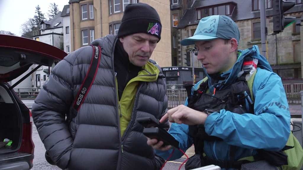
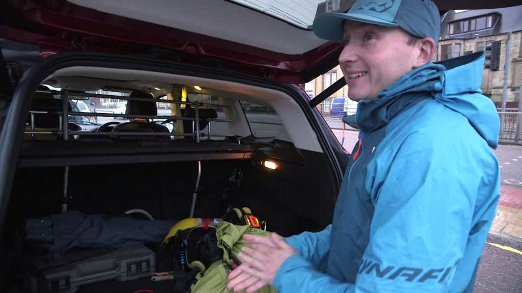
In this section, I will outline the gear that I used during my trek on the CWT.
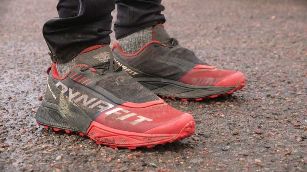
Shoes – Dynafit Ultra 100
TEKO Eco Socks – eco TREK 4.0 MERINO Heavy Full Cushion Trekking Socks
TEKO Eco Socks – eco HIKE 3.0 MERINO Medium Full Cushion Hiking Socks
Dynafit long sleeve base layer
RASHGUARD – Long Sleeve Thermo active long sleeve base layer 2
Dynafit jacket – Alpine hybrid, wind, shower
Dynafit jacker – Alpine 2.5l GTX
Dynafit trousers – Winter running tights
Dynafit waterproof trousers – Alpine waterproof 2.5
Underware – stretchy, compression
Dynafit gloves
Salewa overmittens – ORTLES POWERTEX 3L OVERMITTENS
Dynafit cap – Tech Trucker Cap
Black Dimond running poles
Backpack – Mountain laurel, exodus 55
4l Chest Pouch – Wild Sky Gear, DCF Cuben Fibre
Parts of a Dynafit 15l running vest/bag
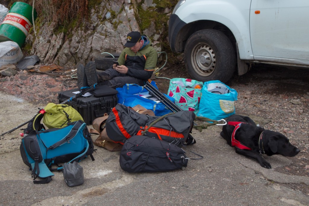
In this section, I will discuss the modifications I made to my backpack to make it more suitable for the expedition. Specifically, I needed to add more pouches in the front for quick access to essential items. To achieve this, I used parts of an old running Dynafit vest and attached the straps, pouches, and pockets to the sides of my Mountain Laurel backpack. The chest pouch fit perfectly between the straps and was held securely in place by the extra rubber bands from the dismantled Dynafit vest, which prevented it from bouncing around and kept it close to my chest. Overall, these adjustments made the backpack much more comfortable and functional for the expedition.
Additional pieces of equipment that I had with me for safety and convenience (in theory).
2x phones
2x spare batteries
charging cables
2x flasks
AA, AAA batteries
Hand warmers
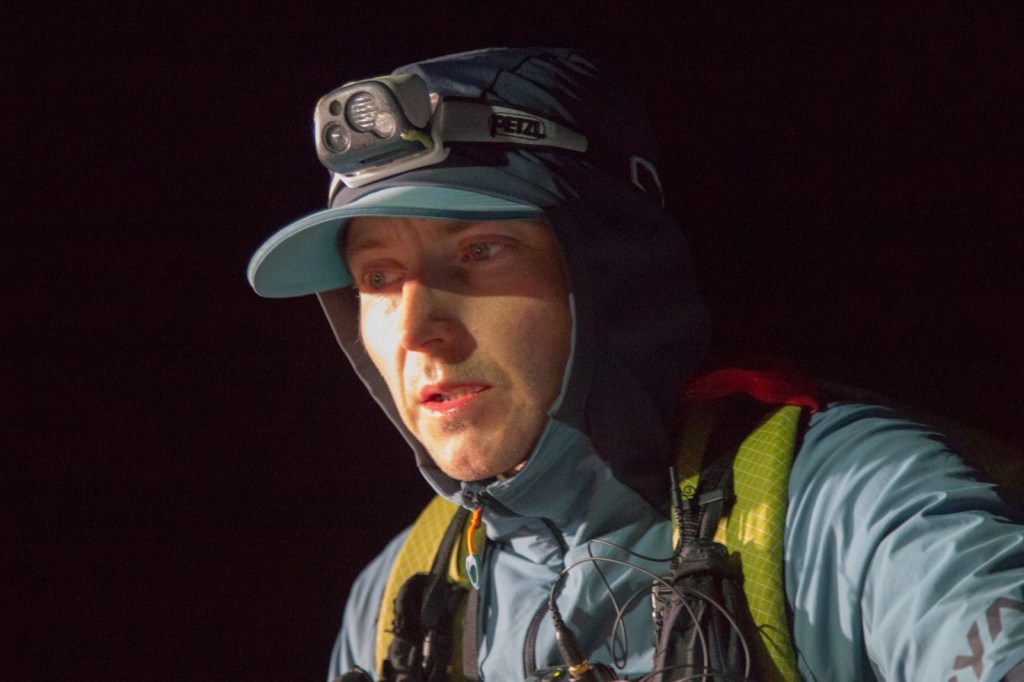
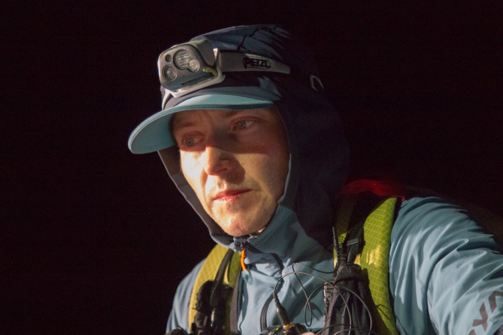
PETZL Nao + headtorch
PETZEL Tikka RXP headtorch + spare batteries
Cooking + gas
Emergency survival, bivvy bag
Foil blanket
First aid kit
GoPro + spare batteries
Spork, Map, Compass, Pencil, Vaseline, Talcum powder, cable ties
Spot Gen3 Tracker (GPS)
Open Tracking tracker (GSM)
Garmin eTrex navigation
Terrain.
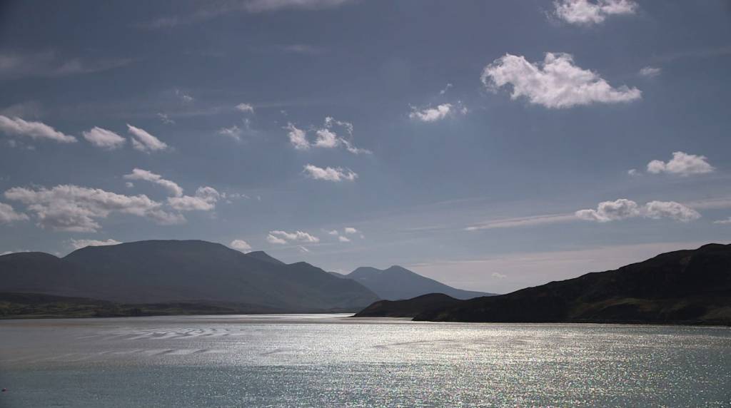
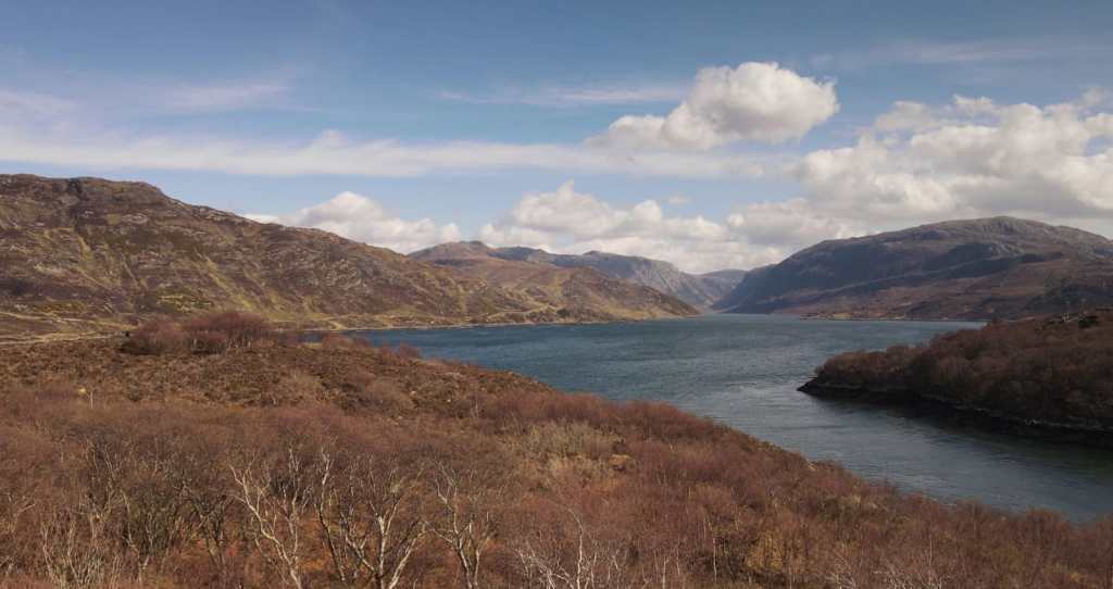
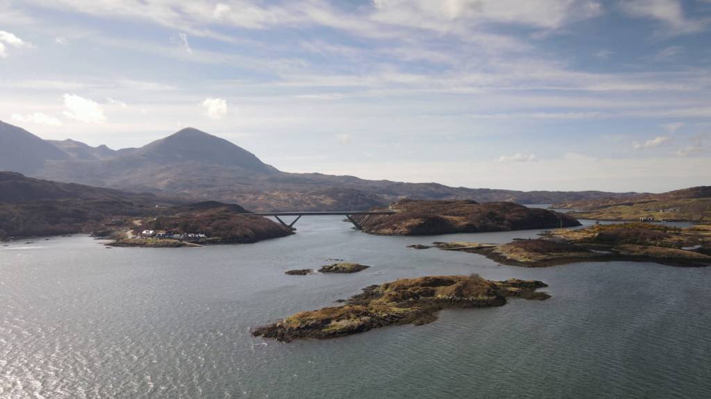
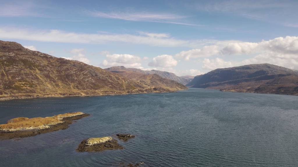
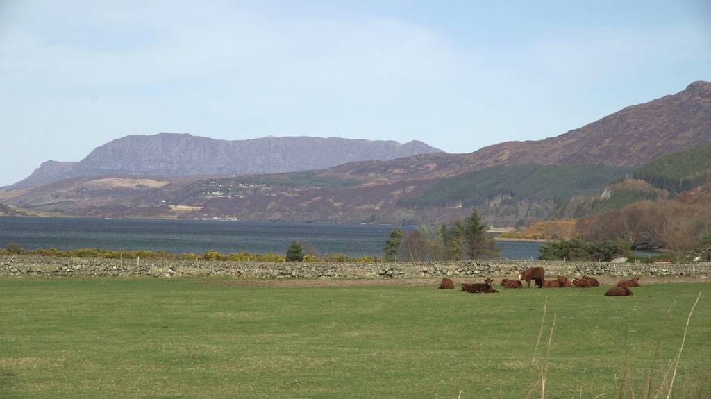
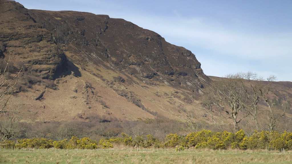
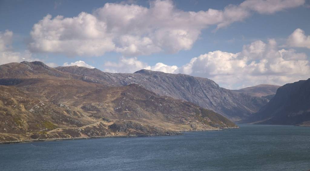
The Cape Wrath Trail covers a diverse range of terrains such as roads, trails, forestry roads, boulder fields, grassy fields, high grass, bog, forests, barren plains, lochs, and river crossings. Running at the bottom of a glen where all water gathers can result in a very wet and soggy experience, especially on a rainy day as the trail never dries out. Navigating along the shores of a loch can also be challenging due to many streams and uneven ground. Navigation itself can be tricky as the paths often disappear, requiring you to find the best way to reach your next orientation point.
At night, some sections can become particularly challenging to navigate, and it’s easy to get lost, losing your sense of direction. The terrain can change rapidly, and what may seem like a nice short grass hillside can quickly turn into a wet and boggy slope.
Crossing rivers can be very difficult, especially on a rainy day. The most dangerous rivers to cross are in the first half of the trail, from Glenfinnan to Glen Dessary and after Kinloch Hourn. Climbing higher up the hill to find a shallower section to cross may be necessary, and hiking poles can come in handy to maintain balance. While there are ways to stay dry when crossing rivers, such as finding stepping stones, they can be time-consuming. Taking off your shoes comes with the risk of slipping, so it’s not recommended. However, it can be an option to consider.
Sleep.
To be frank, this was the most frightening part of my journey. I had no idea how my body would react as I had never pushed it to such extreme limits before. Although I had been on my feet for over 24 hours before, I had never gone beyond that. The fear of losing control of my senses due to sleep deprivation was constantly on my mind. Unfortunately, during the Cape Wrath Trail, I did experience severe hallucinations on a few occasions, which I will detail in the hallucinations section. They felt very real!
Speaking of sleep, I managed to get a total of only 95 minutes of sleep in 86 hours of running. The first nap I took was just before Craig on the edge of the forestry. It was warm and sunny, and I found a comfortable spot on some grass after crossing a forestry gate. I set my alarm for 20 minutes, but a sudden gust of wind woke me up in less than 15 minutes. I was so shocked that I immediately stood up and started moving. Surprisingly, I felt great after the nap, and my brain was refreshed, ready to take on the challenge.
The second sleep happened just after I had my first hallucinations on the high grounds above Corrie Hallie bothy. I found a soft mossy spot with a rock behind it, and I lay down on my left side. I was warm and snug thanks to all the layers and kit I had, and I set my alarm for 20 minutes. However, when I woke up, my whole right leg was stiff from top to bottom. I started walking immediately, and it loosened off.
The third sleep occurred much later during the day on a grassy hill before Inverlael. I just needed to rest, and I took another 20-minute nap with no drama.
The fourth sleep happened after a series of terrible hallucinations. The terrain was not ideal for sleeping or hiding from the elements. The wind was too strong, and the boulders and bog made it difficult to nap comfortably. I was near Glendhu bothy at the seashore, and I found a sheltered area between some boulders. I patted some dry bracken and fell asleep. After 20 minutes, I woke up to another hallucination, which was so realistic that it shook me up badly. I started moving much faster than in the previous hours.
My last 20-minute nap was at the ruins at Bealach nam Fiann, just before reaching the top of Ben Dreavie. I ate lots of food and fell asleep sitting with my back against the ruins’ wall. Luckily, the sun was shining during the last days, keeping me extra warm.
In summary, I only managed to get 95 minutes of sleep in 86 hours and 40 minutes.
Hallucinations.
Buckle up and get ready for a wild ride. Prior to this, I had never experienced hallucinations and was apprehensive about the possibility. I wasn’t sure if I would be fortunate enough to avoid them. As fate would have it, I ended up experiencing some of the most extraordinary hallucinations that you’re about to hear.
The Cape Wrath Trail, located in the Scottish Highlands, passes through an area with a rich history of clearances. The clearances were a series of forced displacements of communities from their lands that took place from the 18th to the early 20th century.
During this time, landowners began to see the value of their land for sheep farming and other commercial ventures. This led to a process of removing tenant farmers and their families from the land, often through violent means. Many people were forced to leave their homes, and entire communities were uprooted and scattered.
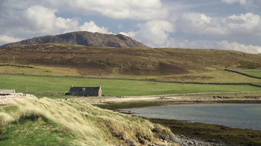
The effects of the clearances can still be seen in the landscape today, with abandoned crofts and settlements dotting the hillsides. The Cape Wrath Trail passes through some of these areas, offering hikers a glimpse into the history of the Scottish Highlands.
As I ran, I realized I was joined by a man and a woman. They were taking different paths on the hillside, much lower than me. I shouted to them, urging them to climb up to my level to avoid the bog, but unfortunately, I myself was waist-deep in it. The path was non-existent, and the section was very technical, leading us up a steep hillside. Suddenly, I woke up to the sound of a roaring waterfall nearby. I slapped myself in the face and corrected my thoughts, finding my way out of this tricky section. My companions had disappeared.
At a road junction, I noticed a man standing there, pointing the direction I needed to go. He was quiet and motioned with his finger towards the left side of the road, up the hill. As he marched ahead, I followed him until he vanished from sight.
Eventually, I reached a high ground where I noticed several buildings, people walking between them. They were beautiful white and grey bothies, and there were many of them up here. Although it seemed strange, I was able to locate each of them easily. I was relieved to find a sheltered place where I could take a quick nap. As I approached the first one, it suddenly vanished before my eyes. However, I pressed on towards another one and managed to get inside for a few minutes of rest before it too disappeared. Eventually, I came across boulders scattered everywhere and decided to sleep on the moss right then and there.
As I followed the muddy and sandy prints of a skilled fell runner, they appeared and vanished intermittently, fueling my excitement at the thought of someone ahead of me. With every sighting, I was inspired to push harder, eager to spot the elusive individual responsible for the tracks. Perhaps they lurked behind a hill or just around the corner – I was certain I would catch up to them soon enough. Climbing up the hill, I anticipated seeing them in the valley below.
Have you ever experienced a sense of belonging in a place despite being hundreds of kilometers away from home? It felt like I had been there before. I recognized the terrain, recalling a previous encounter with the river junction and ruins. It felt like home, even though I knew it was impossible.
After passing Inchnadamph, a forestry worker asked me to assist them with a task, which I willingly agreed to do.
He informed me that they were reintroducing wild cats in the area and wanted feedback from runners and hikers like me. To participate, I was to follow the zigzag path down to the sea where I would meet another forester who would ask me a few questions. He warned me to be safe and look out for other people on the path. As I ran, I encountered four other hikers and runners coming down the technical path. One of them had gone off the zigzag trail, so I shouted to him to come back up before scaring away the wild cats.
Upon reaching the sea level, I searched for the forester but he was nowhere to be found. The person who had given me directions had misled me.
As I ran through the remote areas of Glencould and Glendhu bothies, I felt a sense of isolation and fear. The knowledge that I was far away from civilization and all alone added to my anxiety. However, my feelings quickly changed when I stumbled upon Glencoul bothy. It was as if I had stumbled upon a small community. There was a man fishing nearby and his presence made me feel surrounded by life. I greeted him and continued my search for a way out of the area.
As I crossed a river, I saw a woman carrying twigs and sticks on her back, accompanied by two children. They stopped and looked at me, and one of the children even waved at me. The woman nodded her head in acknowledgement and continued up the hill with her children. The sight of people going about their daily lives in such a remote area was heartening. I felt a sense of comfort knowing that I was not entirely alone.
As I climbed out of the area, I kept looking back and saw people walking, children playing, and smoke rising from the bothy chimney. The feeling of loneliness had been replaced by a sense of belonging to a small, tight-knit community.
Out of nowhere, a young girl materialized in front of me and pointed up the hill, instructing me to follow the zig zags. Just as suddenly as she had appeared, she vanished.
Despite being alone, I could sense a palpable presence around me. Then a young boy emerged and urged me to keep going, following the girl’s direction to reach the Glendhu bothy on the other side of the hill.
Next, a coworker of mine appeared and informed me that a carriage was waiting nearby to take me down. All I had to do was make it to the forestry. I was told to wait for five minutes, but I soon realized that it was a ploy to waste my time. The coworker vanished, leaving me stranded.
In the forest, I encountered two men who led me to their village by the shoreline.
Once I reached the bottom, I felt safe and secure surrounded by boulders the size of houses. Houses were visible between them, and I felt comforted by the sight of other people. Finding a sheltered spot in the sun, I fashioned a bed out of some dry bracken and dozed off.
When I awoke, my wife Ashley and our children were there. She implored me to get up and move quickly. Time was running out, and I had to finish this. As suddenly as they had appeared, my family disappeared, leaving me to continue on my journey.
After leaving Glendhu bothy, I trailed behind a group of hikers and an estate van as we made our way along the shores of Loch Glendhu. However, they disappeared once I began to ascend Ben Dreavie after passing the Maldie Burn waterfalls.
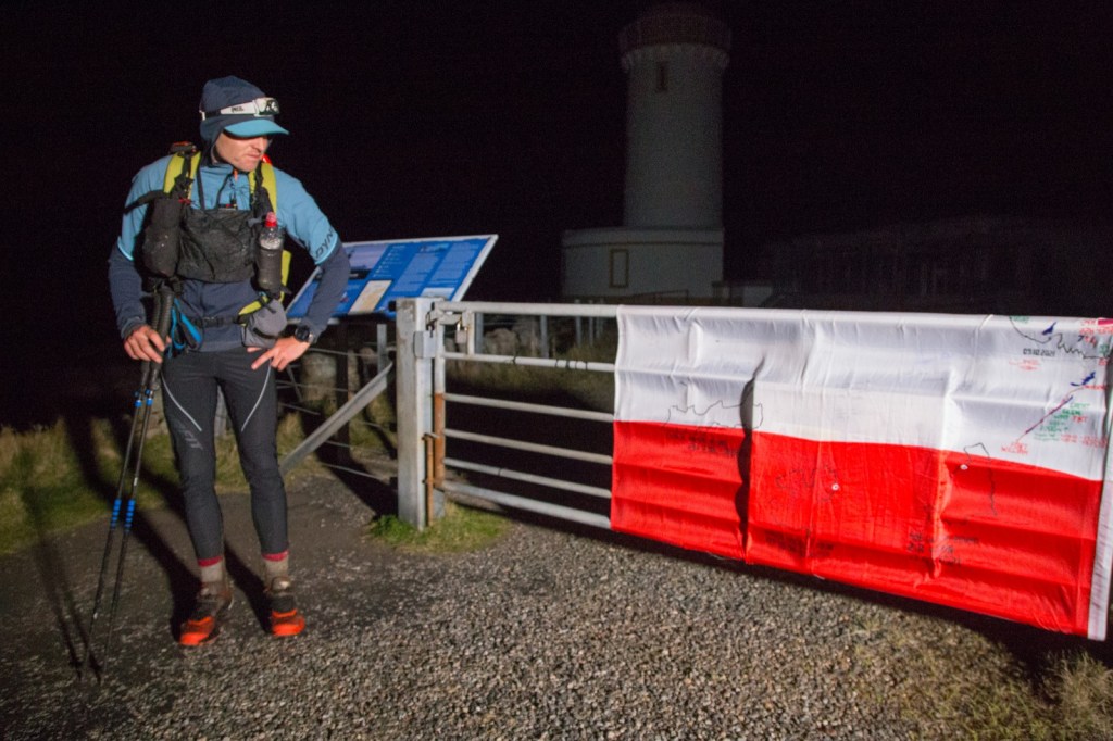
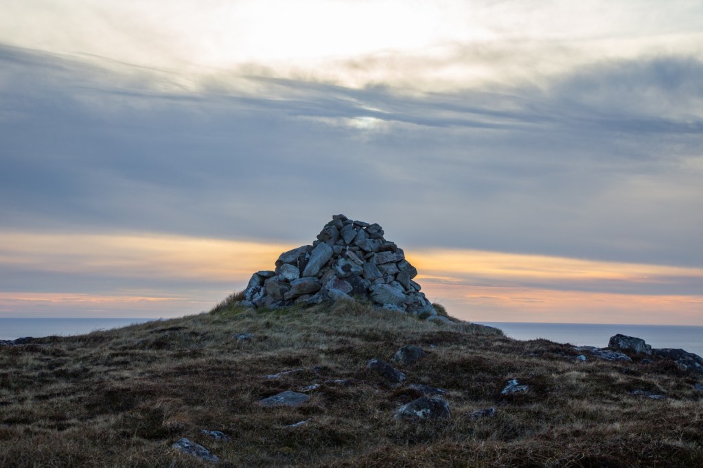
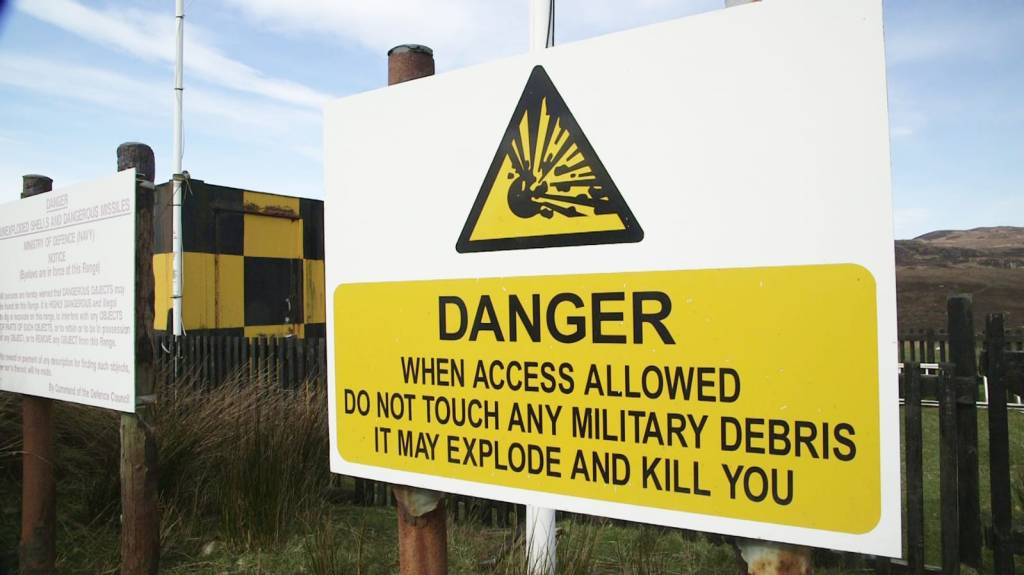
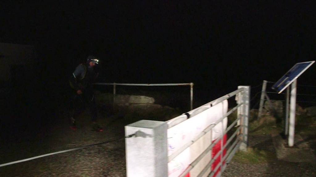
As I entered the military grounds near Cape Wrath, the scattered flat stones on the ground seemed to resemble land mines. Fearful of getting blown up just before the finish, I carefully navigated around them, studying each one to determine if it posed a threat.
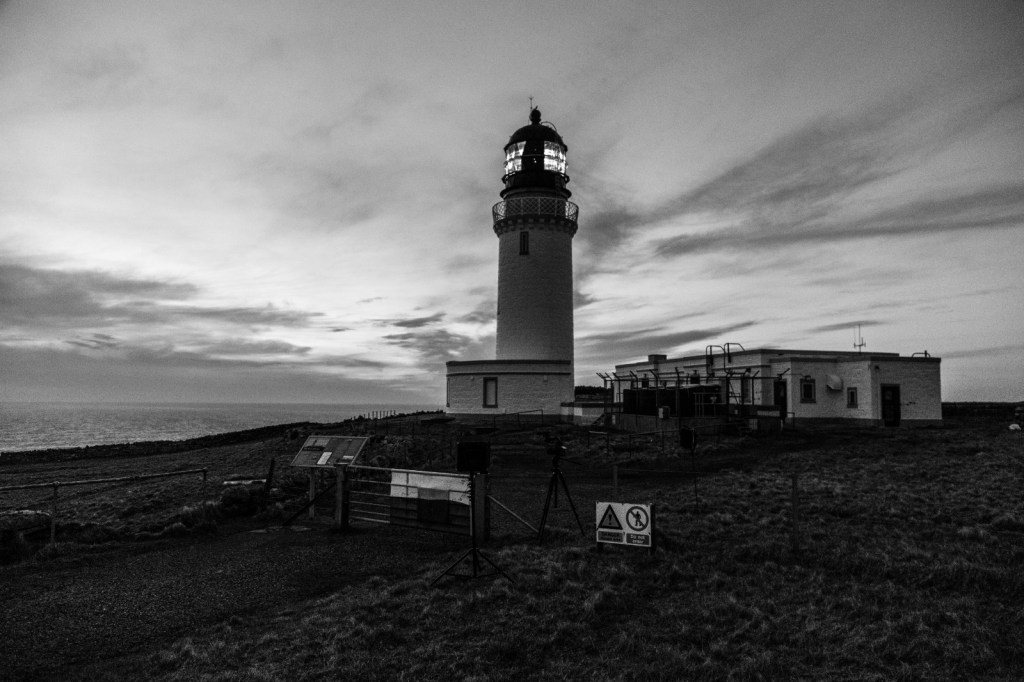
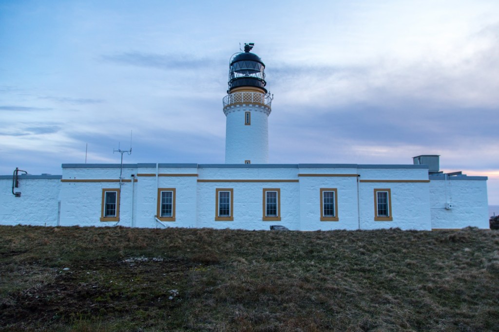
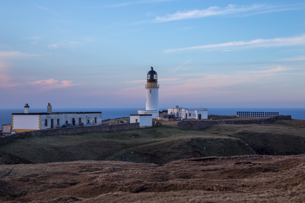
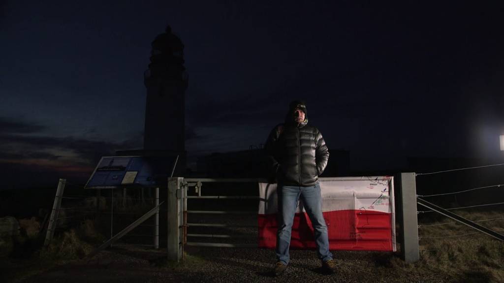
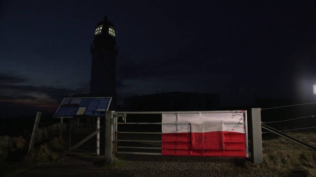
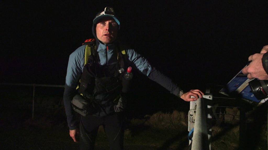
As night fell, I reached the road leading up to the lighthouse and was greeted by a brilliant light suspended in the sky. It shone directly where I needed to go, beckoning me towards the finish line.
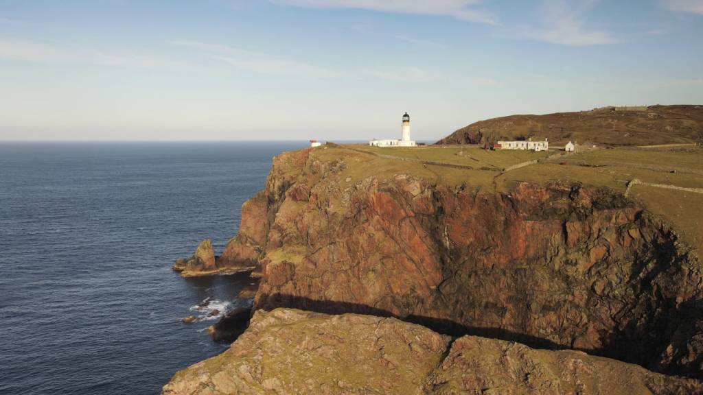
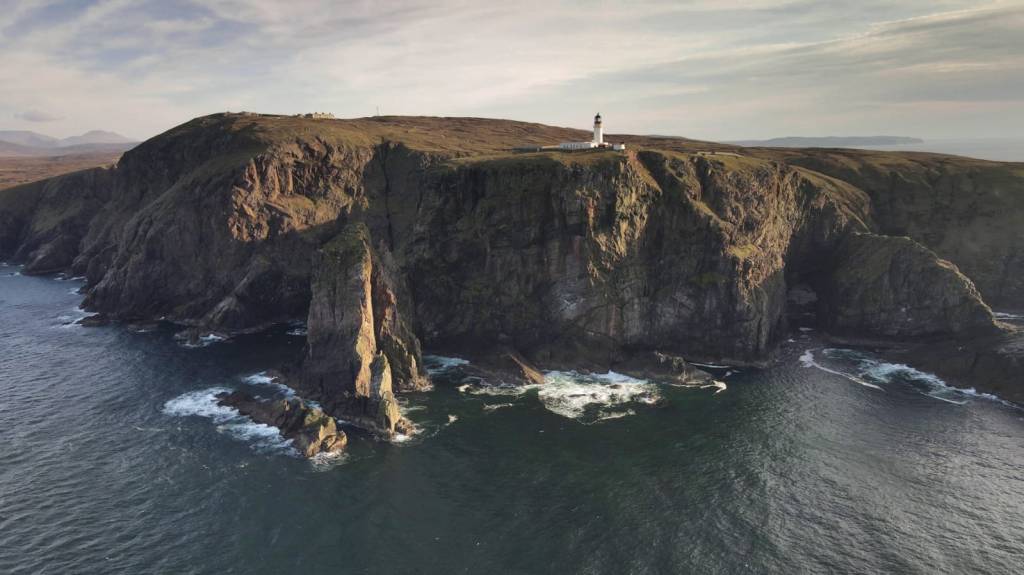
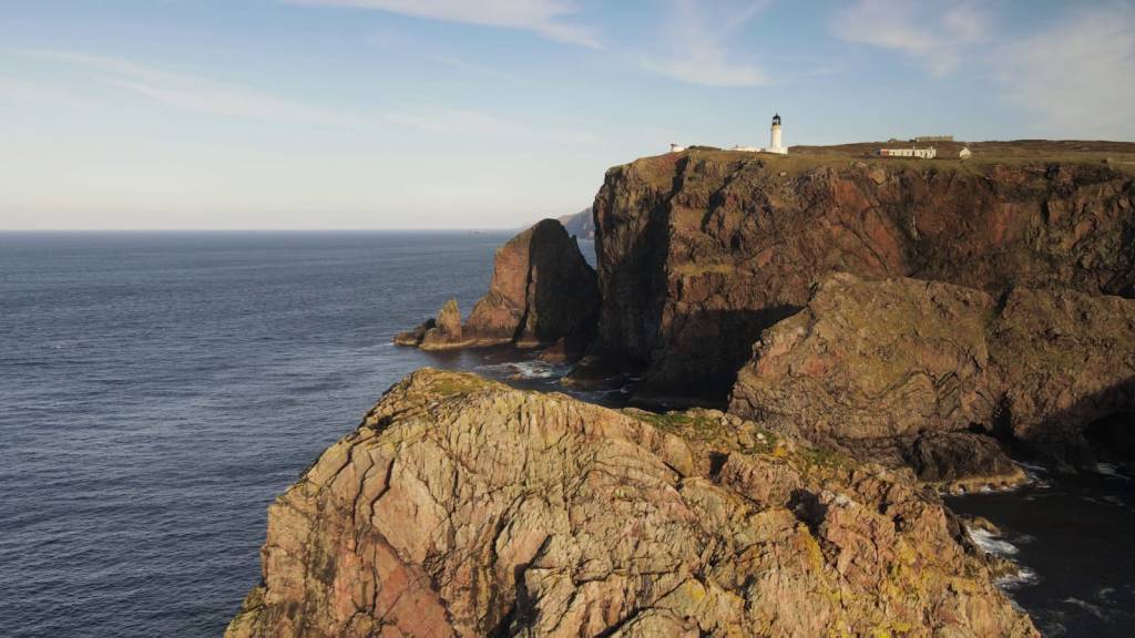
Arriving at the lighthouse.
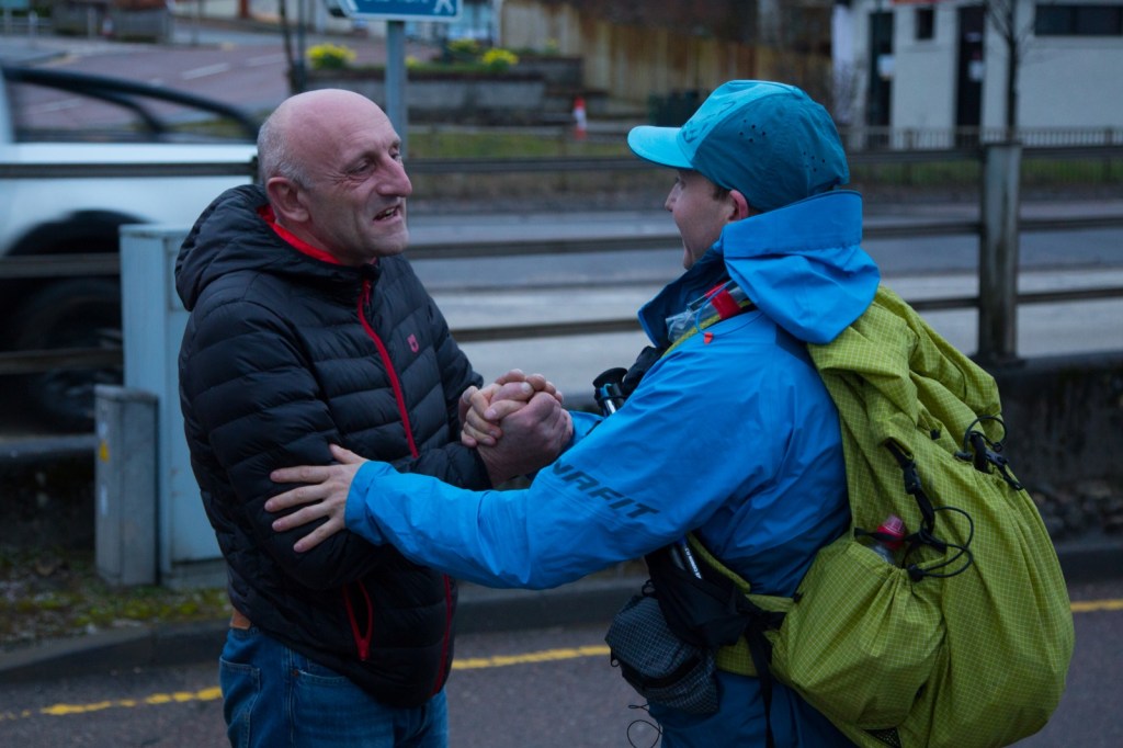
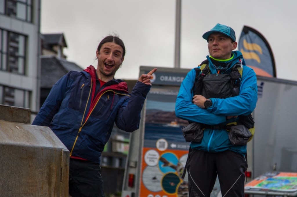
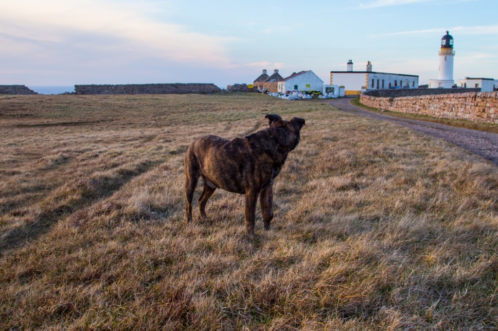
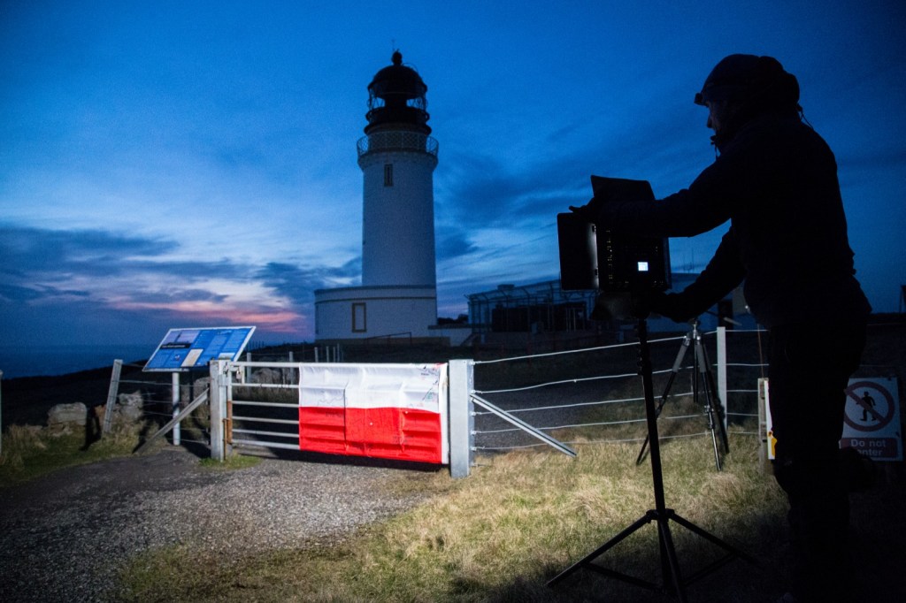
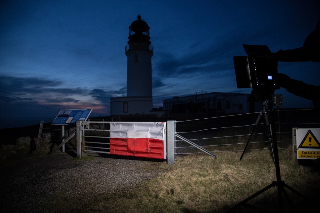
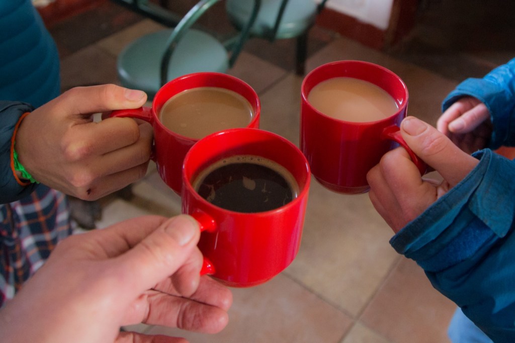
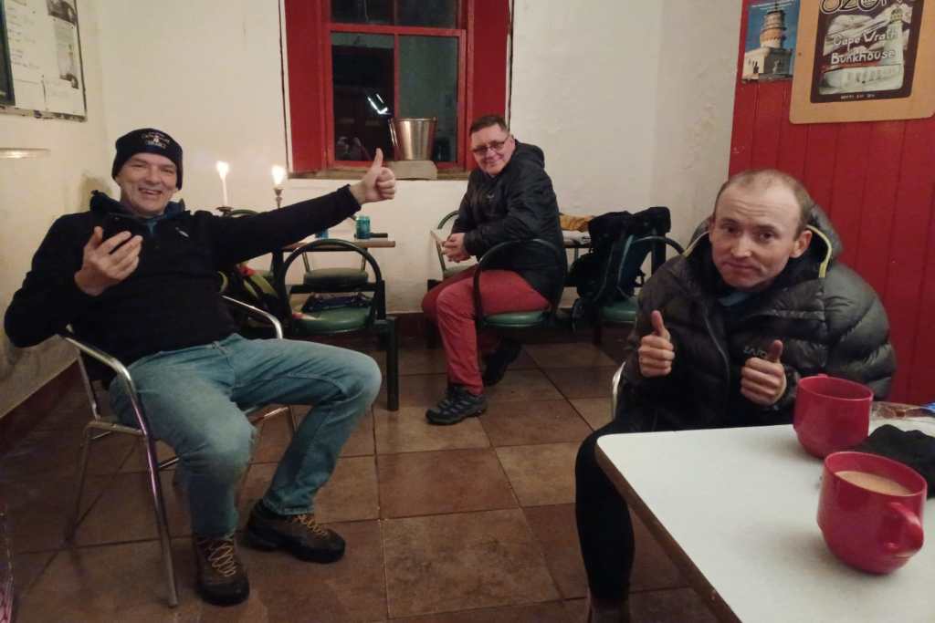
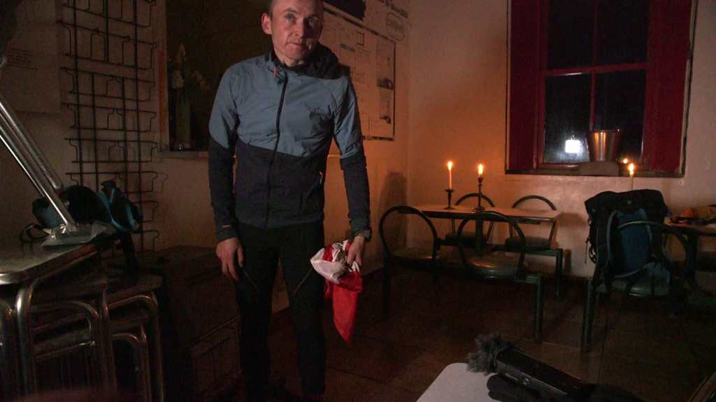
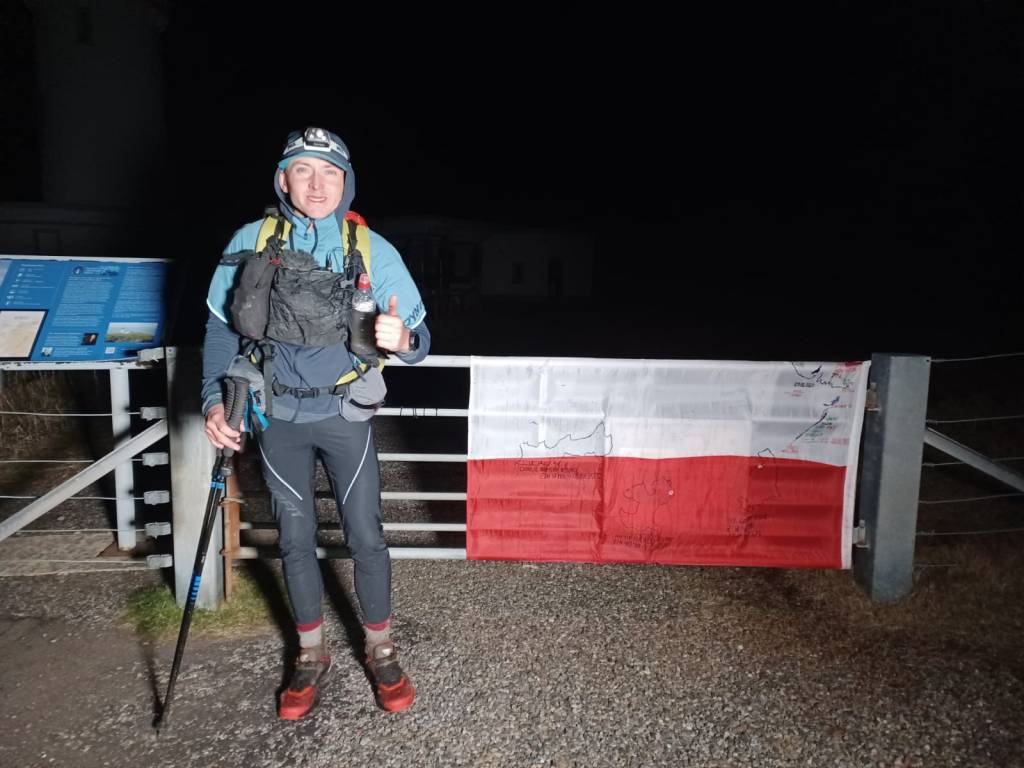
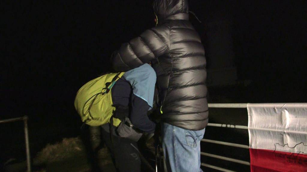
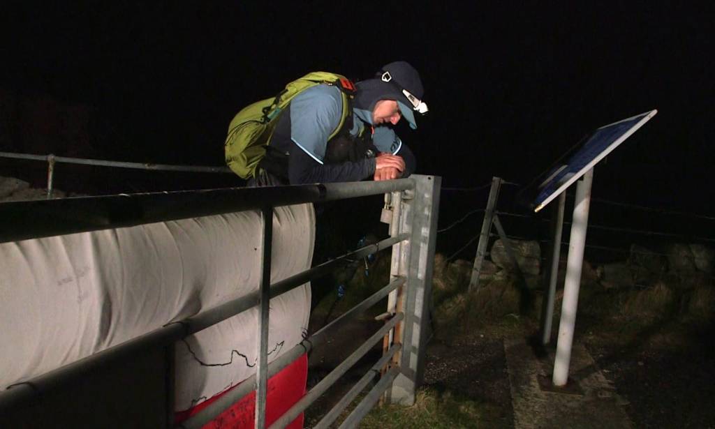
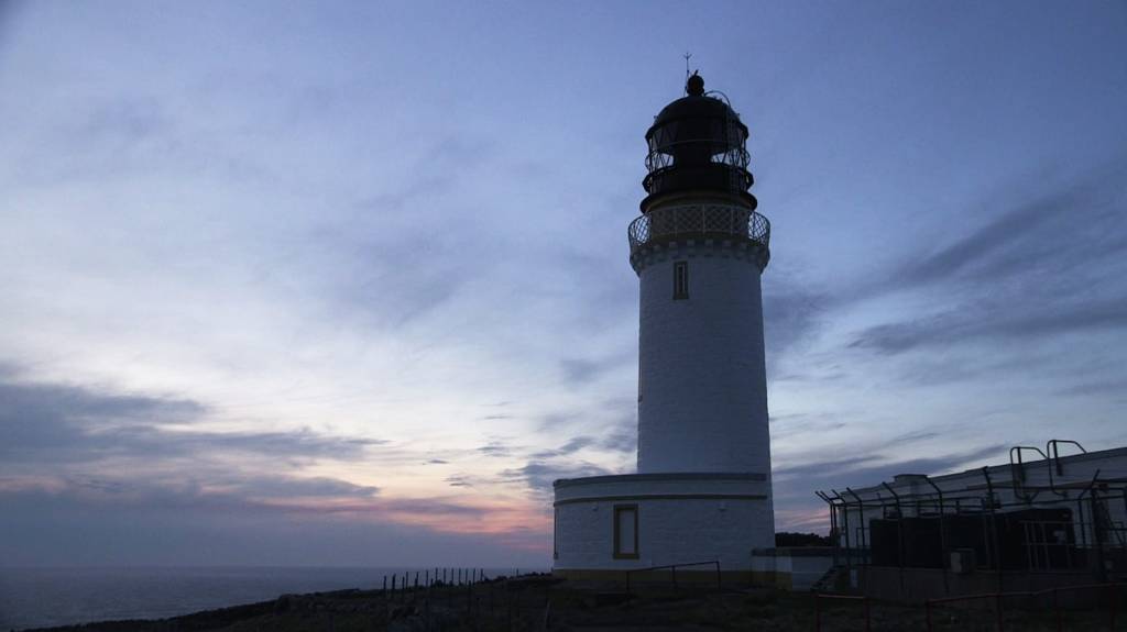
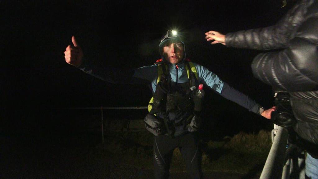
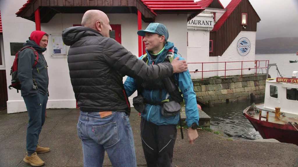
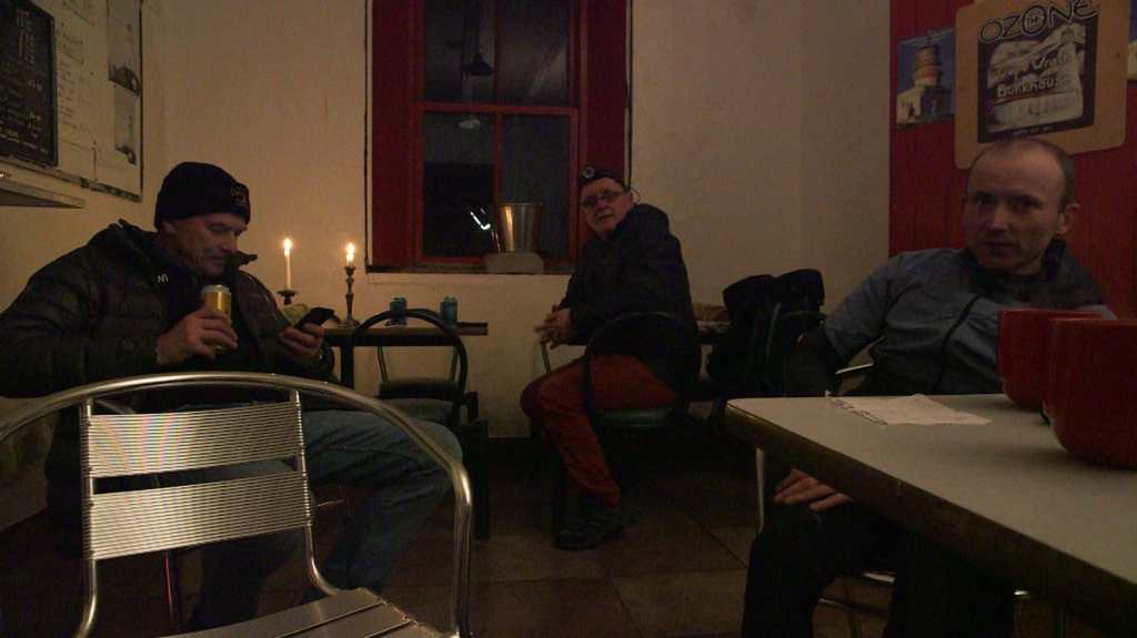
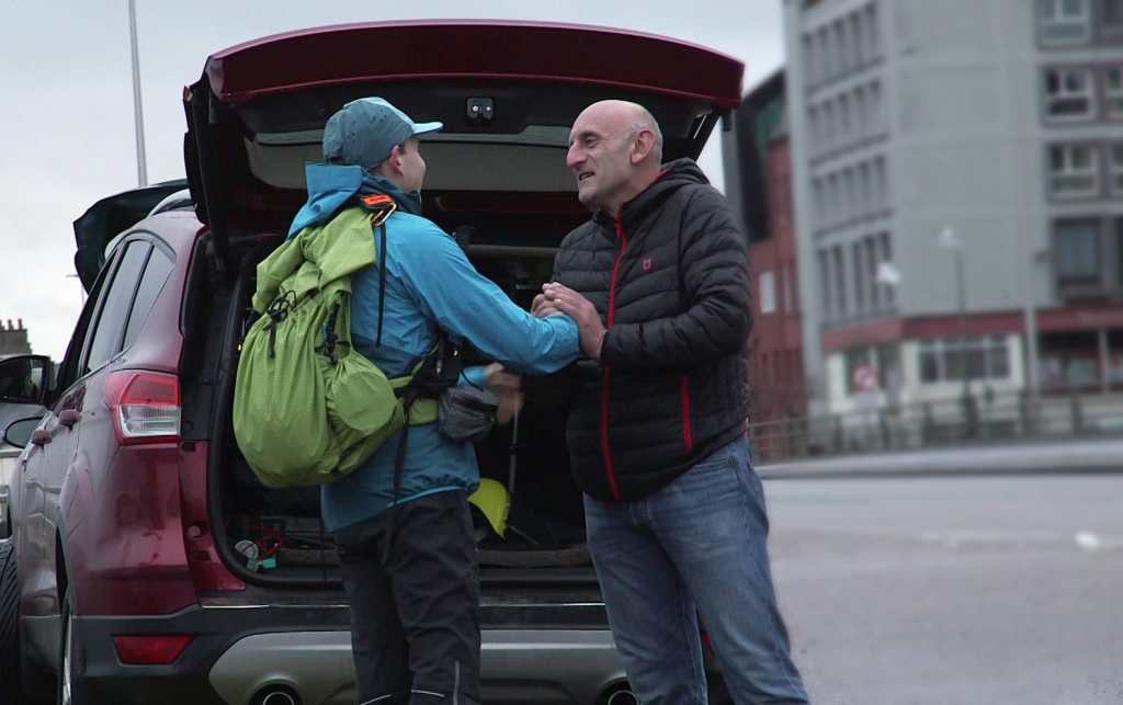
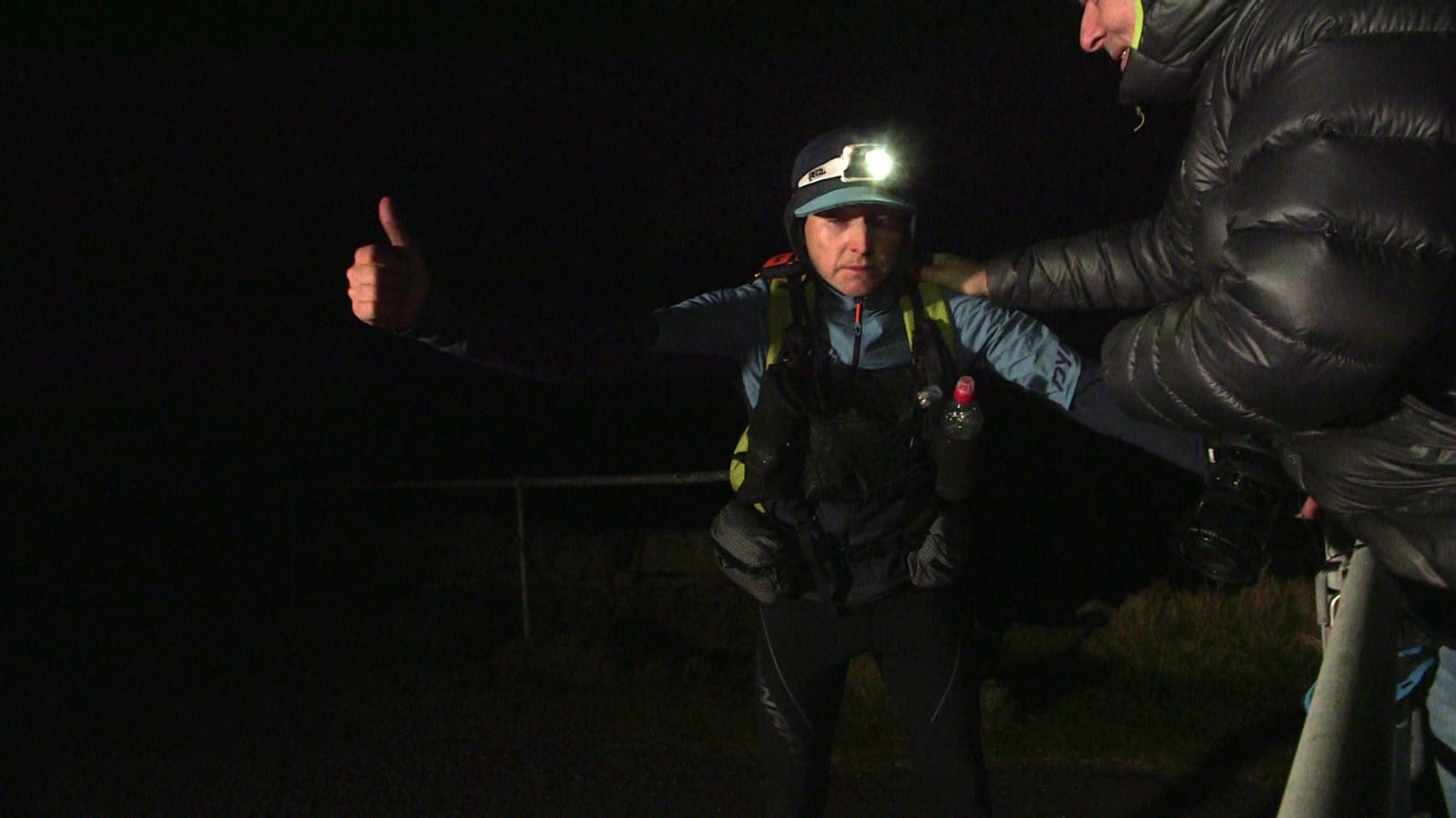
Arriving at the lighthouse was a euphoric experience. The knowledge that my friends awaited me propelled me forward, despite my lack of appetite or thirst. My sole desire was to end the pain, as I was mentally exhausted from failing to meet my goal of finishing before sunset on Saturday. At that moment, finishing was all that mattered. I longed to reach the end and stop my timing device.Upon reaching the lighthouse gate, I was met with the welcoming faces of Kevin, Brad, and Kevin. It was surreal to realize that I had indeed made it there. However, remaining stationary caused the pain in my feet to intensify with every movement.We were graciously invited inside the lighthouse, where we would spend the night at the Cape Wrath bunkhouse. Angie and her father, who lived in the lighthouse, provided exceptional care for us. Angie’s vegan chili con carne was simply divine, as she served me a generous portion of scrumptious food that proved too much for me to consume. I surmised that my stomach had shrunk over the three-day journey. Surrounded by candlelight in a warm hall, we enjoyed each other’s company. The lighthouse possessed a special ambiance that made it a truly unique location. The following morning, my right foot was completely stiff, making walking a challenge. Little did I know what awaited me. Despite this, I managed to venture outside for a leisurely walk and appreciate the stunning scenery.
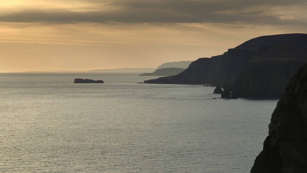
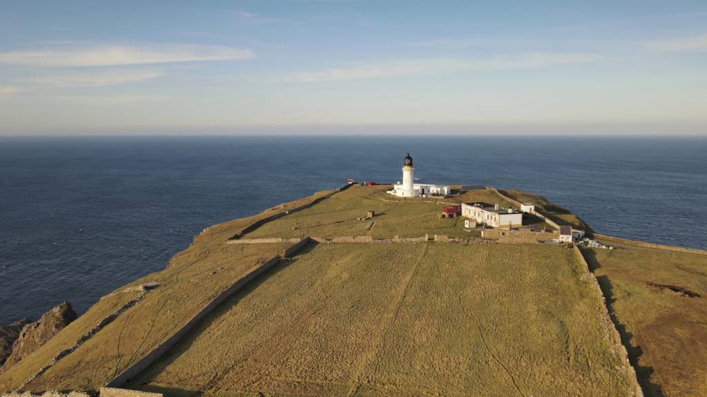
The cliffs around the lighthouse are some of the most impressive in Scotland. The cliffs are made up of ancient rock some of which are more than 3 billion years old. They rise to a height of 200m in places and are home to a variety of seabirds including puffins, razorbills and guillemots. The sheer drop from the top of the cliffs to the sea below is awe-inspiring.
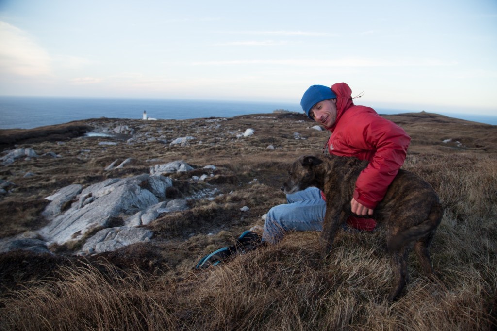
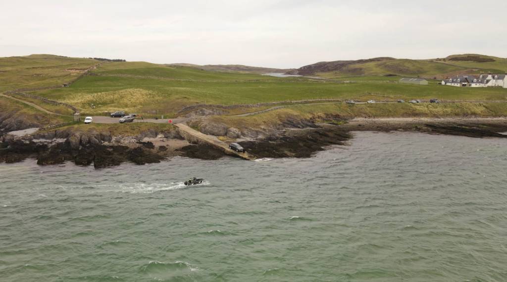
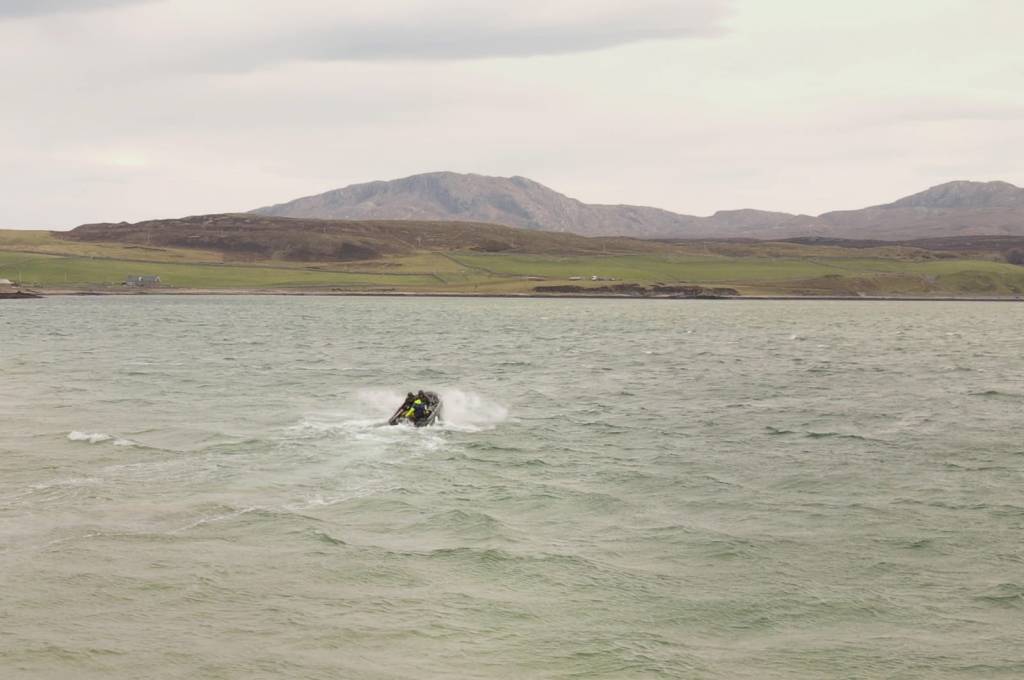
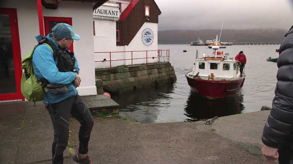
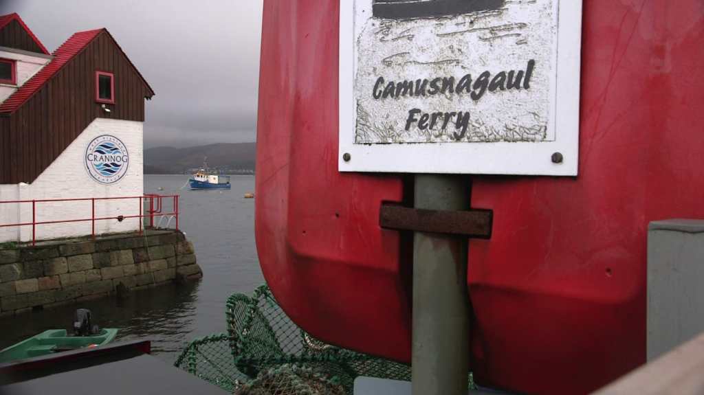
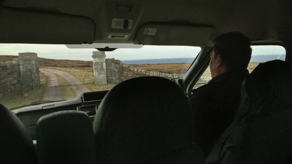
Leaving the lighthouse is another task that had to be organised. Because my expedition was out of season there was no bus driving to the ferry crossing. This has to be organised with the ferry man and the bus driver. He came to pick us up around 11:45am. We packed all or kit and ourselves with the dogs inside. The road is very bumpy and takes us through the fireing range. The driver is an experienced tour guide knowing all the spicy details about the area.
The Cape Wrath firing range is a military training area that covers a large portion of the Cape Wrath peninsula, where the Cape Wrath Lighthouse is located. The range is used by the British Armed Forces for live firing exercises and other military training activities. It covers an area of around 100 square miles and includes several different training sites, including a range for small arms and infantry weapons, a tank firing range, and a maritime training area for naval exercises.The range is normally closed to the public when training exercises are taking place, and visitors are advised to check with the local authorities before attempting to visit the Cape Wrath Lighthouse or any other areas of the peninsula. When the range is open, visitors should take care to follow any safety instructions or warnings that are in place, and to stay well away from any live firing areas.
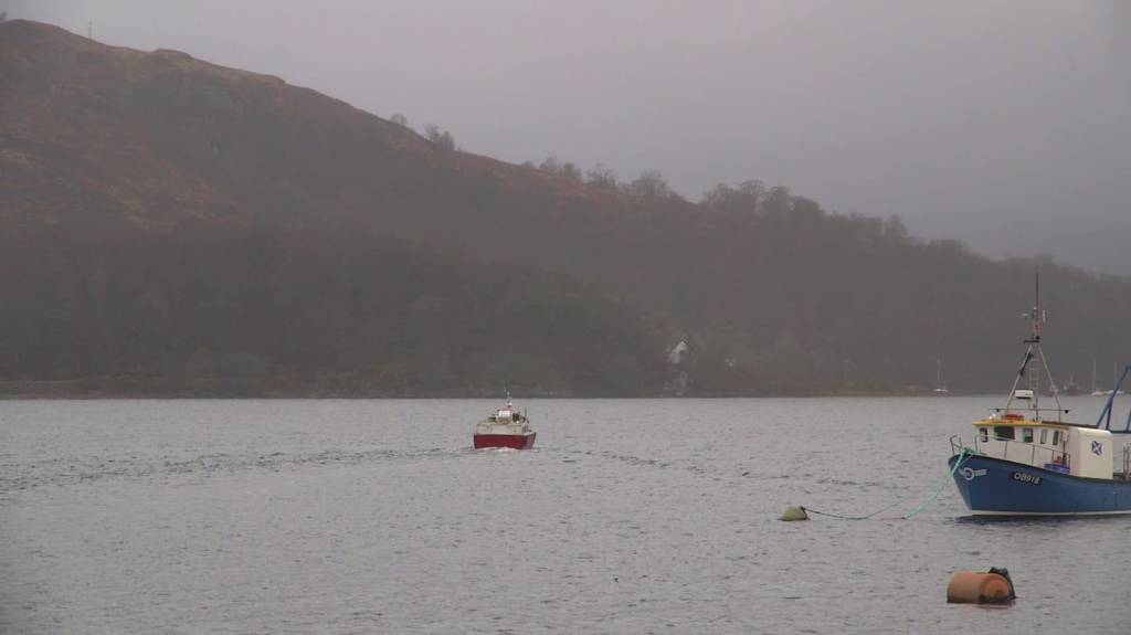
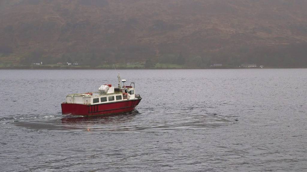
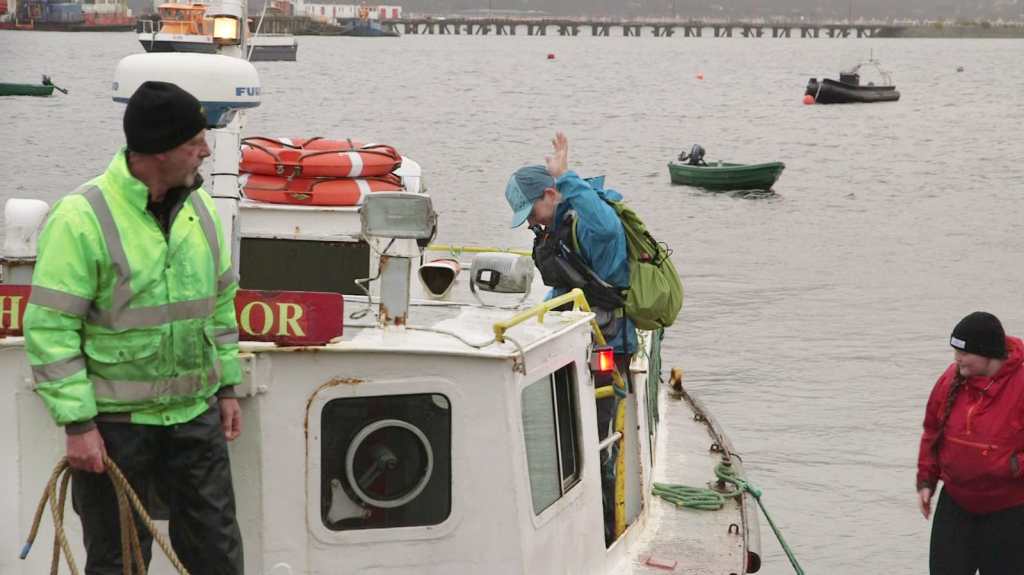
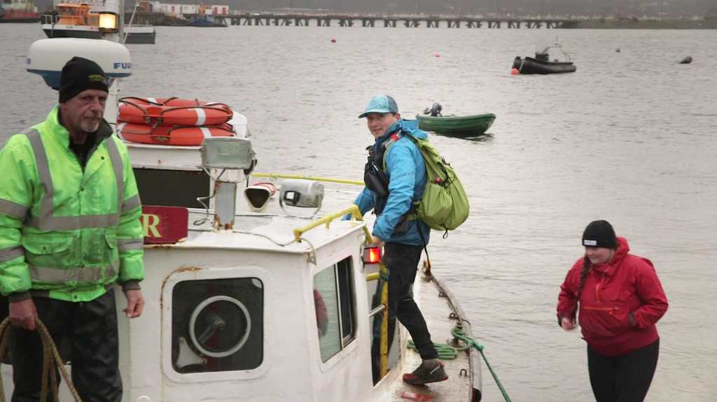
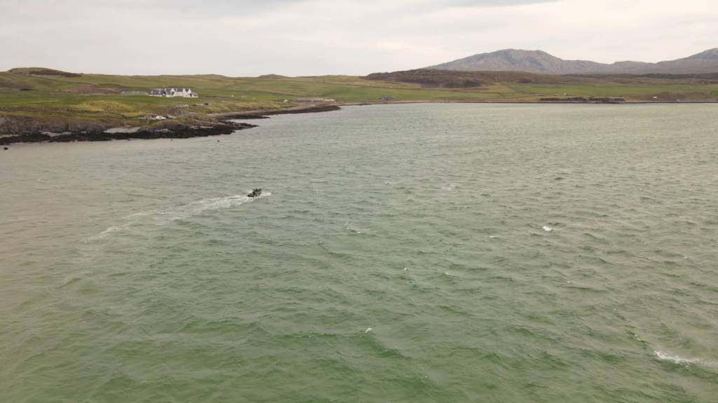
Upon reaching the jetty, we were informed that we would have to wait for more than an hour for the tide to recede. Strong gusts of wind and relentless waves were pounding the jetty on the opposite side, making it challenging for us to disembark. We were warned that we would be drenched if we attempted to cross, so we hastily donned our waterproof gear in anticipation. After a while, we finally made our way across the choppy waters in a small black speedboat to Durness.
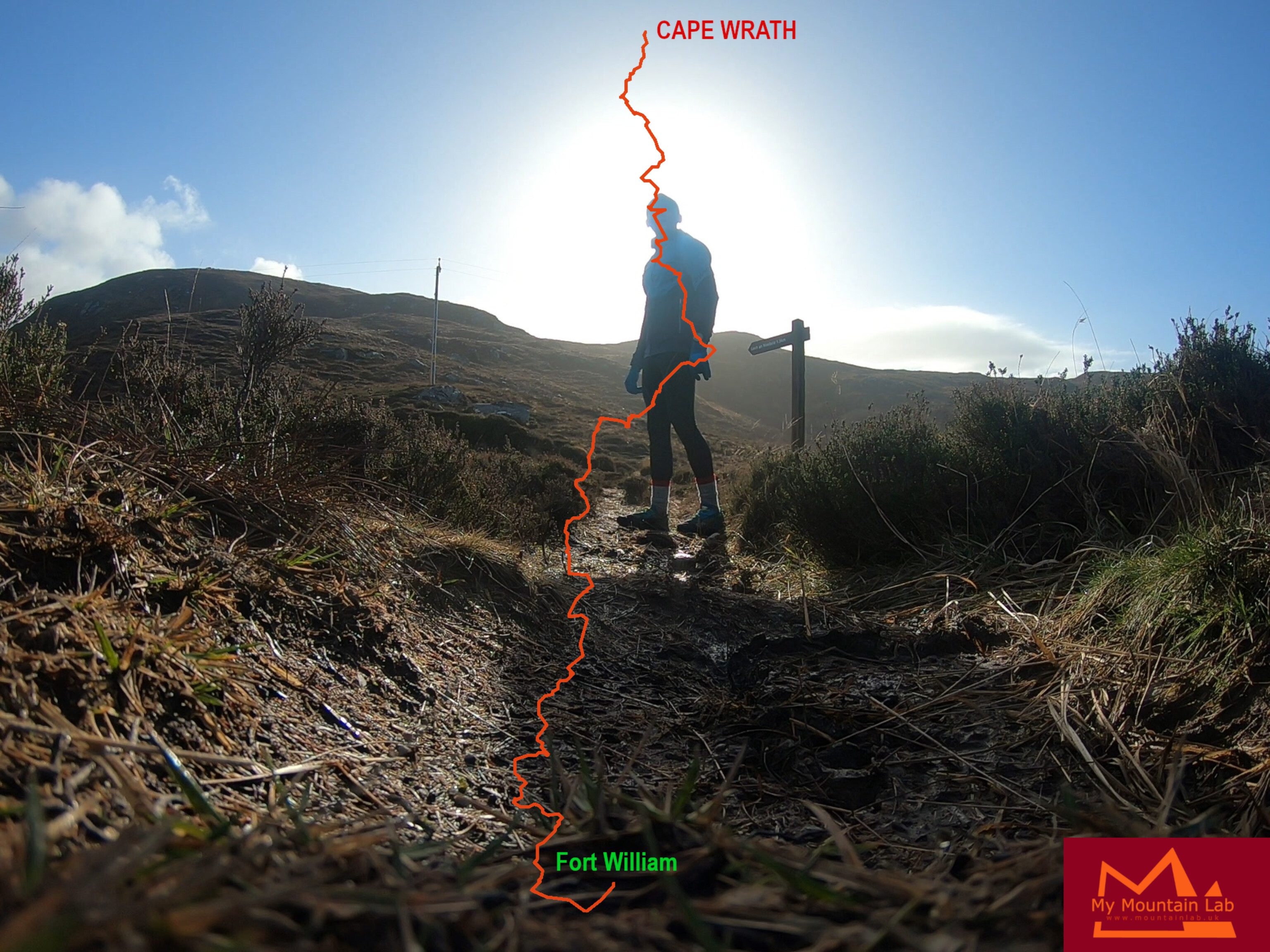
Cape Wrath Trail in numbers.
TIME: 86hours 49min 19s (3d 14h 49min 19s)
Distance: 375km (233.6miles)
Elevation: 13 508m (44317ft)
Time of sleep in minutes: 5 naps – 15min, 20min, 20min, 20min, 20min – TOTAL 95min
Ticks count – 1 (under my left knee)
Lost toenails – 4
People I met – 3
Hallucinations – around 17 (all related)
Here’s a fun fact about Cape Wrath: the name “Cape Wrath” comes from the Old Norse language, where “Wrath” means “turning point” or “corner.” The Vikings who once lived in the area named it so because it is the most north westerly point of the Scottish mainland and marks the boundary between the Atlantic Ocean and the North Sea.
The area around Cape Wrath has a long history of shipwrecks, due to the strong tides and treacherous rocks, and the Cape Wrath Lighthouse was built in 1828 to help guide ships safely through the area. Today, the lighthouse is a popular landmark and tourist attraction, and visitors can take a ferry across the Kyle of Durness to visit the lighthouse and explore the rugged coastline around Cape Wrath.